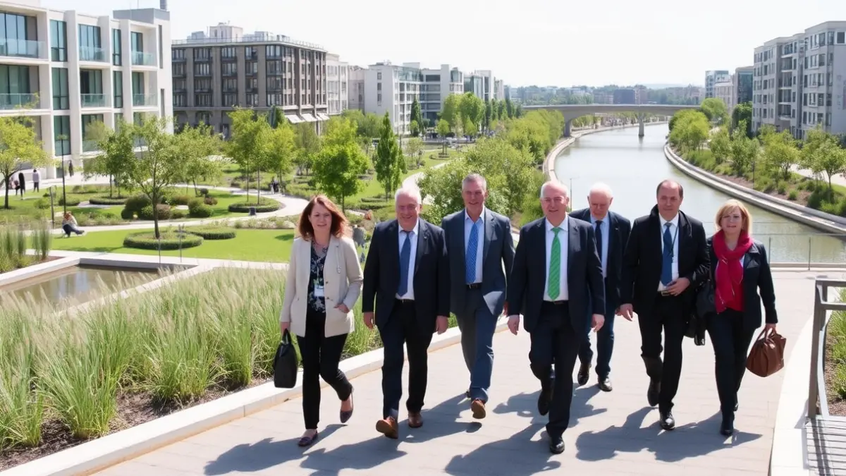
During the Bloomberg Citylab forum, held in the capital, Madrid's Mayor, José Luis Martínez-Almeida, presented the Madrid Río park to a delegation of mayors from various cities worldwide. The walking tour through several points of the linear park served to showcase this space as an example of urban transformation, resulting from the undergrounding of the M-30 highway.
The visit allowed the mayor to position one of Madrid's most recognizable urban projects before international municipal officials. The City Council aims for Madrid Río to be a showcase for a transformation that connects nature, public space, mobility, and the regeneration of the river environment.
The delegation visited prominent sites such as the urban beach area, the skatepark, and the Perrault Bridge. The itinerary concluded with a visit to the Madrid Río Interpretation Center, a facility designed to explain the environmental and territorial value of this intervention.
The City Council emphasizes this green corridor as an intervention that changed the city's relationship with the Manzanares River and its immediate surroundings. Madrid Río emerged from the undergrounding of the M-30, an operation that reclaimed an extensive strip for citizen use, previously dominated by traffic and urban fragmentation.
The project, completed on April 15, 2011, covers a total area of 1,210,881 square meters. Within this area, there are 33,623 trees of 47 species, 470,844 shrubs, and over 210,000 square meters of meadow. These figures are used by the City Council to highlight the environmental character of the project and its contribution to the capital's green infrastructure.