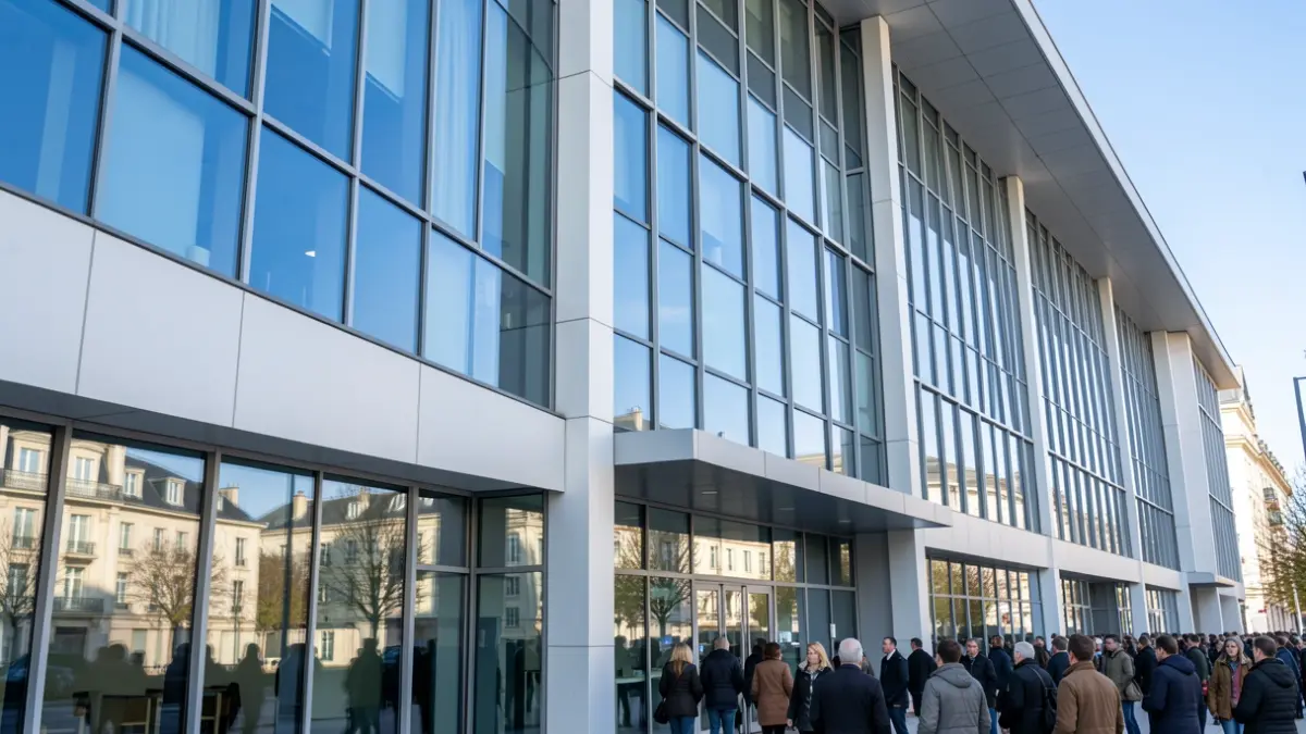
The Civil Protection Group of Getafe will host a training course for Civil Protection volunteers from all over Spain, taking place from September 18th to 20th. The initiative, organized by the National School of Civil Protection, will be held at the facilities of the Local Employment and Training Agency of the Getafe City Council.
Titled ‘Introduction to Cartography and Terrain Situation for Civil Protection Volunteers’, the course's main objective is to improve the collaboration and support of Civil Protection volunteers with emergency services. This training is coordinated by the National Association of Civil Protection Volunteer Groups (ANAV).
Getafe thus joins the initiative to offer quality training to volunteers, aiming for a more effective first response to emergencies and facilitating decision-making for coordinators.
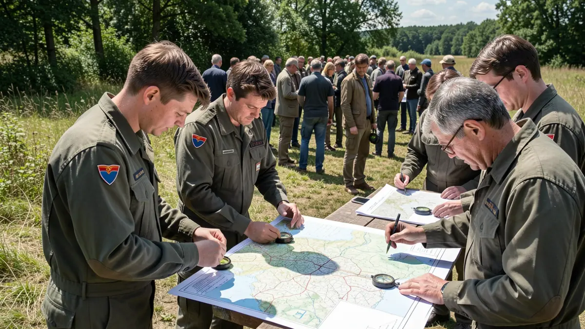
The course content will cover the organization and on-the-ground situation of different intervention groups in emergency management. It emphasizes how cartographic information and the skill in handling it facilitate a rapid response to critical situations.
The training, lasting 20 hours, will be conducted in person, combining theoretical lectures with presentations, individual, and group work. It will include several field trips, one of which will be a full-day orientation exercise.
Specific objectives include: understanding, interpreting, and applying cartography for terrain displacement; using tools such as compasses and GPS; comprehending basic cartography concepts; interpreting various cartographic representations, aerial images, or photographs; learning the fundamentals of orientation; familiarizing with the Global Positioning System (GPS); and applying these cartographic and GPS knowledge to terrestrial navigation.