The inhabitants of Alcorcón can now take a virtual journey through time, thanks to the availability of thousands of historical cartographic documents on the OldMapsOnline website. This tool allows observation of how cities and territories have drastically changed over the centuries, with Alcorcón being a prominent example of the evolution of southern Madrid.
The platform facilitates the location and comparison of maps from different eras with contemporary geography. Other municipalities such as Móstoles and Getafe are also part of this visual journey, illustrating their transition from predominantly rural landscapes to becoming an integral part of the urban fabric surrounding the capital.
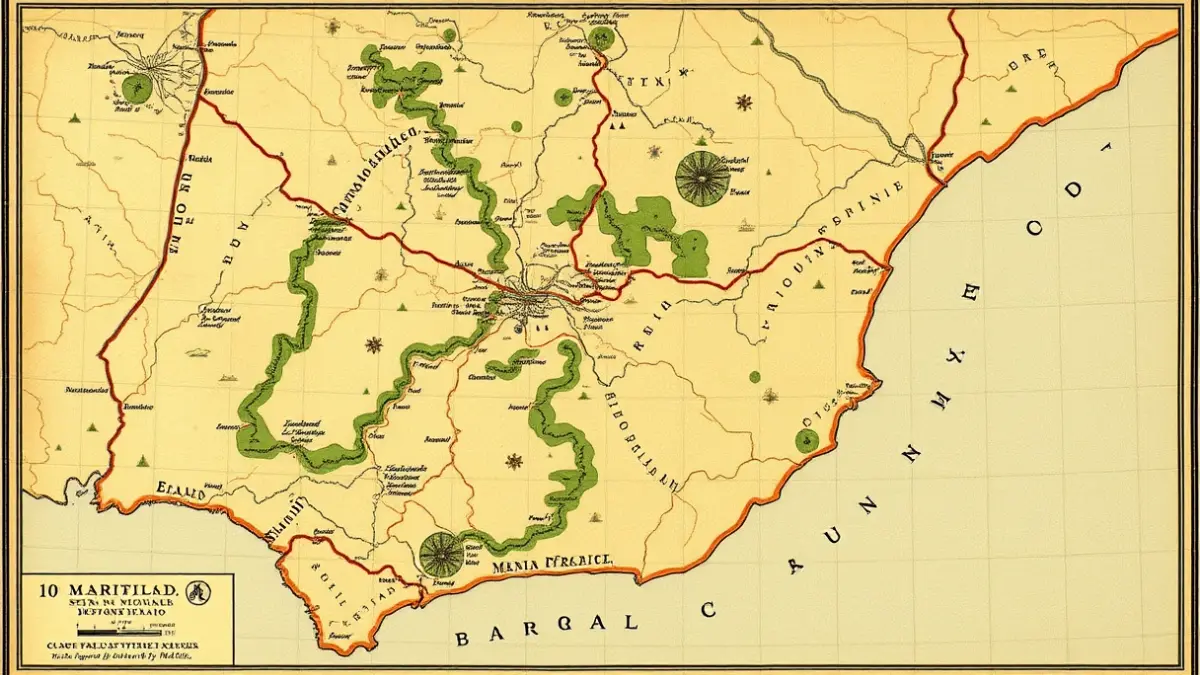
The oldest map including Alcorcón dates back to 1617, a significant date that coincides with the beginning of better historical documentation of the municipality. This period is linked to the topographical surveys promoted during the reign of Philip II, between the mid and late 16th century.
Tools like OldMapsOnline are crucial for understanding the urban development of the southern Community of Madrid. The comparison between ancient and modern cartography reveals the transformation of small settlements into consolidated cities. In the specific case of Alcorcón, the contrast highlights accelerated growth that condenses much of the territory's recent history into just a few centuries.