The plan, put forward by the Urban Planning, Environment, and Mobility Area, aims to establish a model consistent with the physical and functional reality of the site, preserving the balance between buildable area and green spaces. This initiative aligns with the current Government team's strategy to increase housing supply, create new parks, and improve urban mobility.
The affected area, located west of the municipal boundary and adjacent to Pozuelo de Alarcón, is situated between Sanchidrián Street, the Colonia Histórica militar, and the M-502 road. The environmental corridor of the Meaques stream, in Pozuelo, is also in its vicinity.
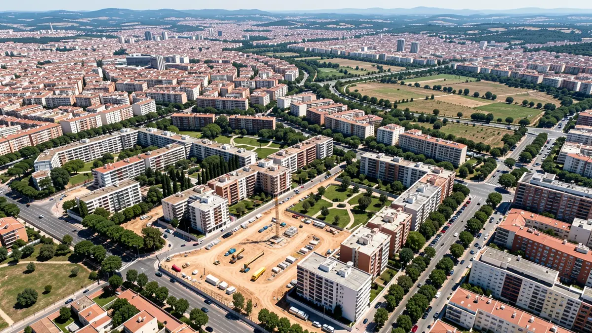
With a total area of 52,722 m2, the plan includes the readjustment of plots to accommodate 236 homes, 20% of which will be subject to public protection. A 10% urban development share is planned to be ceded to the City Council. Additionally, a land reserve under the green space is designated for a park-and-ride facility with approximately 500 parking spaces.
The special plan also regulates the existing green space, ensuring the conservation of 86% of the trees, and foresees the environmental and landscape integration of the road network, avoiding compromise to the green infrastructure of the Bosque Metropolitano.