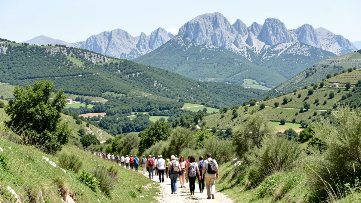
The initiative, promoted by the Madrid Regional Transport Consortium, aims to encourage sustainable leisure, allowing citizens to enjoy natural heritage without relying on private vehicles. With these additions, the regional network now totals 55 marked routes.
The first itinerary connects Bustarviejo to Manzanares El Real along the Cañada Real Segoviana. This 25.6-kilometer route crosses ecologically valuable areas such as the Hoya de San Blas and the surroundings of the Santillana reservoir, allowing for segmented hikes adapted to different physical levels.
The second proposal is the ascent to Pico Mondalindo, a 12-kilometer circular route starting in Bustarviejo. The path is notable for its historical interest, passing through old mining areas, including the silver mines of Cuesta de la Plata, and reaching an altitude of 1,838 meters.
Finally, the La Vuelta al Yelmo route allows exploration of La Pedriza del Manzanares. This circular path circles the iconic 1,717-meter granite formation, offering panoramic views of the Manzanares River. Full technical information and maps are available on the regional agency's official website.