The Regional Transport Consortium of Madrid has expanded its hiking program with three itineraries that connect directly to the capital. Users can reach these natural areas using interurban lines departing from the Plaza de Castilla interchange, avoiding the need for private vehicles.
The first route, spanning 25.6 kilometers, links Bustarviejo and Manzanares El Real along the Cañada Real Segoviana. This path crosses ecologically valuable areas such as the Hoya de San Blas and the surroundings of the Santillana reservoir, allowing for multi-stage travel thanks to connections in towns like Miraflores de la Sierra or Soto del Real.
The second itinerary is a 12-kilometer circular route to ascend Mondalindo Peak, which reaches an altitude of 1,838 meters. The path is notable for its historical value, passing through ancient mining trails and the silver mines of Cuesta de la Plata, part of the Central System.
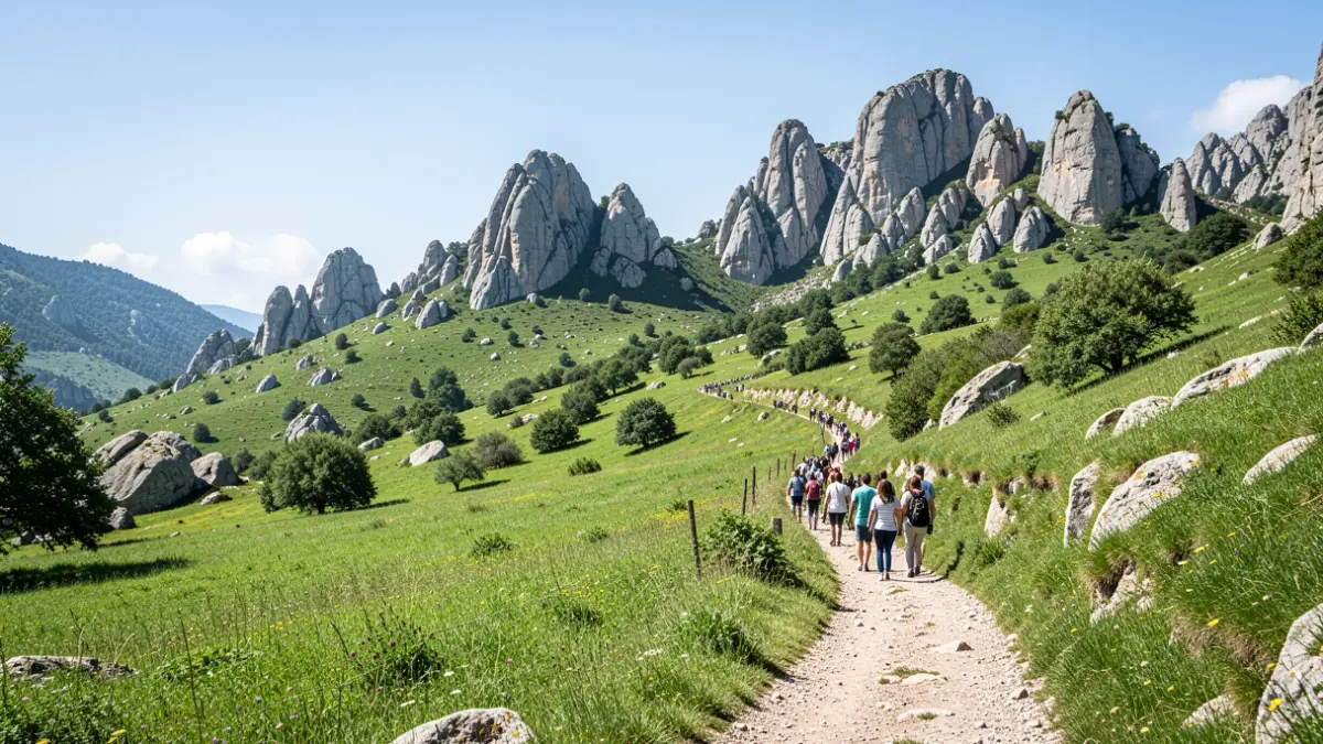
Finally, the proposal known as La Vuelta al Yelmo allows hikers to explore the surroundings of La Pedriza del Manzanares. This circular route circles the 1,717-meter granite formation, offering natural viewpoints over the upper course of the Manzanares River.
With these additions, the regional network now totals 55 available itineraries. The program seeks to bring natural and cultural heritage closer to citizens, promoting a tourism model compatible with the conservation of the mountain environment.